-
Technical Guidance | Coaching with Dr. Kim
CoachingGet tailored feedback, strategic advice or help setting up your own systems. Whether you need a one-time session or mentorship support, book one-on-one time directly with me to fast-track your progress!
-
SkyTribe Drone Pilot Community
CommunityWelcome to the SkyTribe — Where we learn to fly & grow strong together! Join this global drone community & let's explore flying with purpose 🚁
-

UAS Policy & Operations Manual (Template)
Digital downloadSave time with my customizable UAS Operations Manual template—Perfect for ensuring compliance, safety, and effective data management in your unmanned systems operations.
Products
-
.png)
Top 5 Mistakes New Drone Pilots Make & How to Avoid Them
CourseThinking about flying a drone—or already started but not confident yet? This practical webinar covers common beginner mistakes and shows you how to plan safer flights, manage data properly, and apply drones effectively in real-world work.
Free
-

Mapping the Blue: Participatory-UAS Approach Webinar
Course4.7 average rating (3 reviews)In this webinar I discuss ways of enhancing marine spatial planning in the Caribbean through drone mapping technology and participatory approaches as part of a Blue Economy and the achievement of the 2030 Sustainable Development Goals.
Free
-
.jpg)
Drones for Coastal & Marine Management | Webinar
CourseIn this webinar I provide a broad overview of various ways I am leveraging drone mapping & spatial analysis workflows to create holistic ecosystem-based information & improve collaborative coastal marine management & decision-making in the Caribbean.
Free
-
.png)
Drone Flying Fundamentals Mini Course
Course5.0 average rating (2 reviews)🚁 New to drones? Join Dr. Kim Baldwin’s Drone Flying Fundamentals mini-course and learn setup, safety tips and smart flying basics — even if you don’t have a drone yet! Get ready to fly with confidence from the start
Free
-

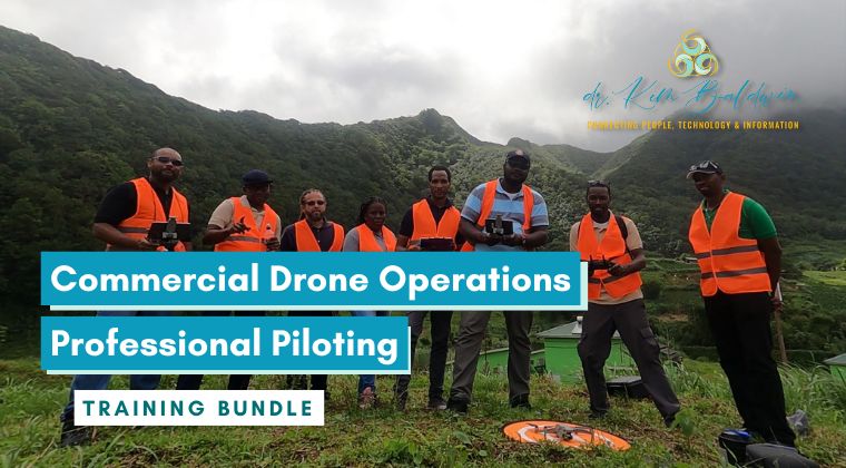
Commercial Drone Operations Professional Piloting Training Bundle
BundleDesigned for pilots ready to move beyond recreational drone flying!
This program includes policy, flight safety, international operational procedures & business-building tools & mentorship to help you fly smarter & start strong.
$1,000
-

Commercial Drone Operations & Professional Piloting Course
Course5.0 average rating (1 review)Learn to operate drones commercially like a professional — anywhere in the world. This hands-on course covers flight safety, regulations, data protocols and reporting — with drone certification upon completion of the 4 week virtual course.
$1,000
Additional products & services
Create a custom package for your exact needs


