.png)
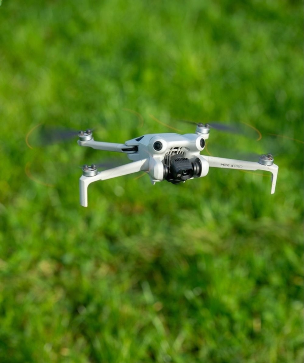
Start using your DJI Mini 4 Pro for real-world mapping—without the guesswork! This quick reference guide gives you a practical overview of how to set up & use the Mini 4 Pro for small-area mapping, along with key limitations to be aware of before you purchase.
Simple Mapping Setup
A quick checklist of what you actually need to get started
Know What It Can (and Can’t) Do
Understand the real capabilities and limitations of the DJI Mini 4 Pro so you can use it effectively for small-area surveys and training.
Practical, Real-World Use
Where this drone actually fits in your workflow—apply this guide to small-scale, environmental & community mapping. Great to learn the basics!
Mapping Made More Accessible
The DJI Mini 4 Pro makes mapping more accessible—but only if you understand how to use it correctly. This guide cuts through the confusion and shows you what actually works in practice. You don’t need expensive RTK drones to get started. With the right setup and expectations, even a compact drones can deliver mapping results!
Dr. Kim Baldwin
I'm a marine ecologist, educator and drone pilot with more than 10 commercial drone licenses and over two decades of experience conducting environmental mapping, monitoring, field research and teaching expertise. My mission is to empower individuals and organizations with the skills and tools to navigate environmental data effectively. I've had the privilege of training numerous professionals and organizations across the Caribbean and beyond in professional drone operations, geospatial analysis and monitoring strategies across a range of environmental management industries and applications. Whether you're an individual, a small business or a larger organization - I'm here to help you harness technology to enhance your workflows!
What Students Are Saying
Based on real-world drone training experience supporting environmental monitoring, disaster management, and community mapping projects.
Having completed this course, I now feel confident not only flying drones but understanding the requirements needed to operate in different operational situations.
Anguilla National Trust

Dr. Baldwin is extremely knowledgeable and helpful. Her teaching approach was methodical, covering the background information on policy and regulations as well as various UAVs, their usefulness in research and for monitoring sea turtle nesting sites. She was patient as we learned the basics of pre-flight preparations and flight with UAVs as well as the differences between and benefits of the available software. I would highly recommend her training to anyone interested in using drones for environmental research!
Department of Biological & Chemical Sciences The University of the West Indies - Cave Hill
Having completed this course, I now feel confident not only flying drones but understanding the requirements needed to operate in different operational situations.
Anguilla National Trust
Dr. Baldwin is extremely knowledgeable and helpful. Her teaching approach was methodical, covering the background information on policy and regulations as well as various UAVs, their usefulness in research and for monitoring sea turtle nesting sites. She was patient as we learned the basics of pre-flight preparations and flight with UAVs as well as the differences between and benefits of the available software. I would highly recommend her training to anyone interested in using drones for environmental research!
Department of Biological & Chemical Sciences The University of the West Indies - Cave Hill
Experience the Future of Aerial Mapping
Start your aerial mapping journey today with a free download of the DJI Mini 4 Pro guide. Explore the benefits, overcome limitations, and unleash the full potential of your mapping projects.
Get your free download now